The Ruhr Area: Germany’s Region Without a State
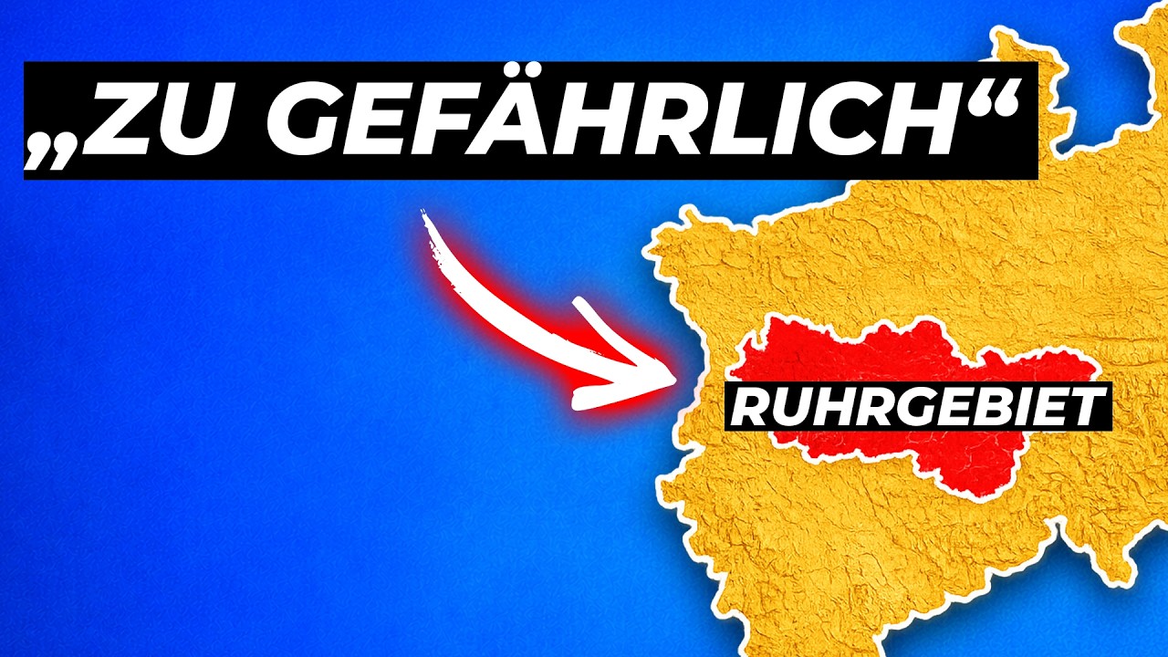
Germany’s Ruhr Area is one of Europe’s most distinctive urban regions. Around 5.1 million people live across its dense network of industrial cities, making it larger than several German states, including Rhineland-Palatinate, Saxony and Berlin. It is roughly five times the size of Saarland, which has been a state since 1957.
The Ruhr has nearly all the characteristics people normally associate with a unified region. It contains 53 cities, a shared transport system, a recognizable dialect, a strong cultural identity and institutions that coordinate development across municipal borders. Since 2020, its residents have also directly elected a regional body. What it does not have is the constitutional status of a German state: there is no Ruhr state government, minister-president or regional capital.
A single metropolitan area divided among several authorities
The Ruhr covers about 4,435 square kilometres and consists of 11 independent cities and four districts. Its average population density is approximately 1,200 people per square kilometre, compared with 524 in North Rhine-Westphalia and 229 across Germany as a whole. It is the country’s largest continuous urban area and one of the biggest metropolitan regions in the European Union.
Despite this cohesion, administrative responsibility is fragmented. The region is divided among the governmental districts of Düsseldorf, Münster and Arnsberg. Duisburg is administered from Düsseldorf, Gelsenkirchen from Münster and Dortmund from Arnsberg. These centres all lie outside the Ruhr itself.
An older historical boundary adds another layer of complexity. The line between the Rhineland and Westphalia cuts through the region: Duisburg and Oberhausen are traditionally Rhenish, while Dortmund and Bochum are Westphalian. As a result, the Ruhr is also divided between two landscape associations whose origins reach back roughly a thousand years to the era of the old duchies.
In practical terms, a region that functions as one urban and economic space is overseen by several governmental districts, two landscape associations and multiple authorities based in surrounding cities.
The postwar decision that shaped the map
The decisive moment came after the Second World War. The Ruhr was the industrial heart of western Germany, producing the coal and steel that had helped power two world wars. For the Allied powers, it was not merely an economic region. It was also a potential military resource and a question of European security.
In 1946, Britain controlled the area as part of its occupation zone. That year, the British reorganized the Prussian provinces in their zone and created North Rhine-Westphalia. The Ruhr could have been made a separate state: it was large enough, economically important enough and geographically coherent enough. Instead, it was placed inside a much larger political unit.
This was not an accidental administrative arrangement. France and the Soviet Union wanted special control over the Ruhr’s industrial production. France in particular had raised the possibility of removing the region from Germany or placing it under international supervision, much as had happened with the Saar. The concern was access to coal and steel, both for security and for reparations.
Britain sought to prevent the Ruhr from becoming an easily detachable territory. Its solution was geographical. A separate Ruhr state might have been isolated or placed under international control. A Ruhr embedded in a large state of around 18 million people would be far more difficult to separate from Germany. North Rhine-Westphalia therefore acted as a political and strategic container around the industrial core.
The Ruhr question and the beginning of European integration
The dispute did not end with the creation of North Rhine-Westphalia. In 1949, Britain, France, the United States and the Benelux countries established the Ruhr Authority. It placed the region’s coal and steel production under international supervision and regulated the type, quantity and use of industrial output. Its headquarters were located in Düsseldorf.
For France, the authority was closely tied to the establishment of the new Federal Republic of Germany. West German Chancellor Konrad Adenauer accepted the Ruhr arrangements through the Petersberg Agreement, prompting fierce criticism from opponents who viewed the settlement as an infringement on German sovereignty.
Yet the conflict eventually produced a solution that transformed Europe. Rather than allowing coal and steel to remain a source of rivalry between France and Germany, the two countries agreed to manage them jointly. The European Coal and Steel Community was founded in 1951. It became one of the institutional foundations of the European Union, while the Ruhr Authority was abolished in the same year.
The international fear surrounding the Ruhr therefore helped drive European cooperation. For the region itself, however, the internal administrative map remained largely unchanged.
Why the arrangement has survived
Once North Rhine-Westphalia had been established, changing its borders became increasingly difficult. The Ruhr contains 5.1 million residents, but the state as a whole has around 18 million. The region is therefore a minority within its own state, accounting for less than 30 percent of the population. It cannot simply separate itself through local political strength alone.
There have been efforts to create more coherent regional administration. In 1920, the Siedlungsverband Ruhrkohlenbezirk was founded to coordinate planning across municipal boundaries. It later became the Kommunalverband Ruhrgebiet and ultimately the Regionalverband Ruhr, today the largest and oldest association of its kind in Germany.
During the 2000s, policymakers developed a plan to replace the existing governmental districts and landscape associations with three regional directorates. One would have been dedicated to the Ruhr and based in Essen. The proposal ultimately disappeared without being implemented.
A regional parliament, but not a state
A compromise arrived in 2020, when residents of the Ruhr began directly electing the Ruhr Parliament. The body has 91 seats and represents the region’s interests across municipal boundaries. It can plan, coordinate and administer regional projects, but its powers are limited.
The Ruhr Parliament cannot pass state laws, levy taxes or form a regional government. Legally, it is not a parliament in the same sense as the legislature of North Rhine-Westphalia or another German state. Its existence recognizes the Ruhr’s shared identity without changing its constitutional position.
A region created by history rather than by constitutional design
The Ruhr did not fail to become a German state because it lacked population, economic weight or regional cohesion. It remained outside the state system because the postwar powers deliberately designed the surrounding political geography to prevent the industrial area from being separated from Germany.
The decision was made in the context of occupation, security and the emerging Cold War. By the time those international concerns had faded, North Rhine-Westphalia was established, European cooperation had changed the Ruhr question and no political coalition had enough interest or power to redraw the map.
That is why the Ruhr remains a region with a strong collective identity but no state government of its own: a single metropolitan area administered through several overlapping institutions, shaped by a postwar decision that still defines Germany’s political geography.