Rhineland-Palatinate: Germany’s Most Unlikely State
Rhineland-Palatinate is one of Germany’s most improbable federal states. Today, more than four million people live between the Rhine, the Moselle, and the Palatinate Forest, in a region known for wine, historic cities, the Nürburgring, and dramatic landscapes. Yet the state was not the product of a long shared history. It was created after the Second World War by combining territories that had belonged to different countries and administrative systems.
A State Assembled from Fragments
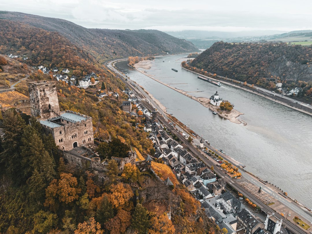
When the postwar map of Germany was being drawn, Rhineland-Palatinate did not exist. Its territory was divided among several former states and provinces. The Palatinate had been part of Bavaria for more than a century, with cities such as Speyer, Kaiserslautern, and Ludwigshafen. Koblenz and Trier belonged to the Prussian Rhine Province. Rhine Hesse, including Mainz and Worms, was associated with Hesse, while the Montabaur district belonged to Prussian Hesse-Nassau.
There was even a small territory in the Hunsrück that illustrated the region’s political complexity especially well. Birkenfeld had belonged to Oldenburg from 1817 to 1937, not as a neighboring part of that state but as an exclave surrounded by Prussian territory and located hundreds of kilometers from Oldenburg itself.
These areas had different political traditions and no single institutional identity. They were a patchwork rather than a natural unit. Nevertheless, they were about to become one federal state.
The French Occupation Zone Creates a New Land
On August 30, 1946, General Pierre Koenig, commander of the French forces in Germany, signed Ordinance No. 57. The measure joined the districts of Koblenz, Trier, Montabaur, Mainz, and the Palatinate into a new state.
The decision followed the boundaries of the French occupation zone rather than an ancient regional identity, a common language, or a historic kingdom. France administered the southern part of the occupation zone, while the Saarland was separated from Germany. The territory left between those arrangements became a new German state.
Even the name reflected the practical nature of the project: Rhineland and Palatinate were simply combined. The new state was designed to make administration easier, not because its inhabitants had previously thought of themselves as one people.
A Border That Cut Through Cities
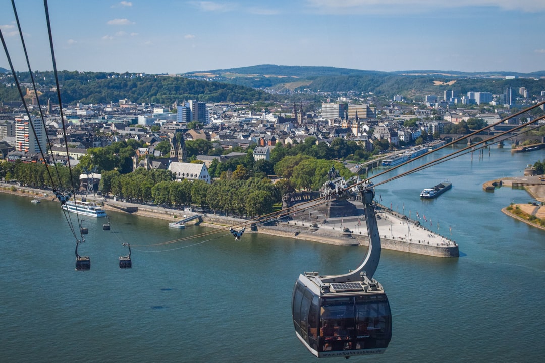
The occupation boundaries produced unusual consequences. The Rhine formed part of the dividing line between the French and American zones, and the boundary ran through established urban areas.
Mainz, on the western bank of the Rhine, became part of Rhineland-Palatinate. Several districts on the eastern bank, including Kastel, Kostheim, and Amöneburg, were assigned to the American zone and incorporated into Wiesbaden in Hesse. They remain part of Wiesbaden today, even though the occupation boundary disappeared more than seven decades ago. Street signs still preserve the connection with Mainz, while the districts are administered from Wiesbaden.
The question of a capital was also unsettled. Mainz was the intended capital, but much of the city had been destroyed. For the first years, the state government operated from Koblenz instead. Only in 1950 did Mainz formally take over the role.
A Narrow Constitutional Beginning
The population was first asked to approve the state’s constitution on May 18, 1947. Turnout reached 77.7 percent, but the constitution passed by only about 53 percent. Almost half of those who voted rejected the political structure that had been imposed on their region.
This narrow result mattered because the Basic Law later included a mechanism for territories that had been assigned to new states after May 8, 1945. Under Article 29, such regions could seek a referendum on their political future.
Regions That Wanted to Leave
In 1956, five petitions for territorial change were launched within a short period. Koblenz and Trier sought a connection with North Rhine-Westphalia. Montabaur and Rhine Hesse wanted to return to Hesse. The Palatinate considered either joining Bavaria again or becoming part of Baden-Württemberg.
The threshold was ten percent of eligible voters, and four of the five regions cleared it. Montabaur reached 25.3 percent, Rhine Hesse 20.2 percent, and Koblenz and Trier together 14.2 percent. Only the Palatinate failed to cross the threshold, partly because its supporters divided their votes between two alternatives.
The results revealed how fragile the new state still was. Rhineland-Palatinate lacked the large industrial foundations associated with other German regions. It had no Ruhr-style coalfield, no major industrial concentration comparable to the chemical centers elsewhere, and no financial hub like Frankfurt. Its economic profile was more strongly associated with vineyards, forests, and low mountain ranges. Many residents therefore looked toward wealthier neighboring states.
Why the Referendum Took So Long
Although four regions had cleared the first hurdle, the promised referendums did not take place immediately. Nineteen years passed. In 1968, the state government abolished the Montabaur administrative district and merged it with Koblenz, the area that had shown the strongest support for leaving. At the time, observers openly speculated that the reorganization was intended to prevent a future territorial restructuring.
Only on January 19, 1975—three decades after the end of the war—were residents finally allowed to vote. The requirements were now much stricter: at least 25 percent of all eligible voters had to support a change.
The outcome was decisive. Just 13 percent supported transferring the relevant areas to North Rhine-Westphalia, while 14.3 percent supported returning the Rhine Hesse region to Hesse. No region came close to the required threshold.
How an Artificial State Became Home
The explanation was simple: time had changed the meaning of the borders. During the intervening decades, the new state developed institutions and economic ties of its own. Allied and federal military bases brought employment and investment. Tourism expanded along the Rhine and Moselle during the 1950s. A new generation grew up knowing Rhineland-Palatinate as its home, rather than as an administrative arrangement created by an occupying power.
The older generation had often wanted to return to political structures it remembered. Their children had no comparable attachment to those former borders. For them, the new state was the familiar one.
Belonging Cannot Be Imposed—but It Can Develop
Rhineland-Palatinate demonstrates that political identity is not always inherited from medieval boundaries, shared dynasties, or a single regional culture. The state began as a practical solution to an occupation map and was widely treated with skepticism. Its component regions initially had strong reasons to seek different futures.
Yet administration, economic connections, public institutions, and generational change gradually created a common identity. The history of Rhineland-Palatinate is therefore a reminder that belonging cannot simply be ordered into existence. It can, however, emerge over time—sometimes in the very places where it seemed least likely to take root.