How Germany’s Three Palatinate Regions Became One Broken Legacy
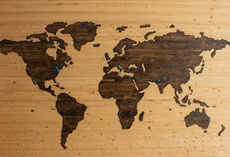
Germany’s map contains a historical puzzle: three regions bear variations of the name Palatinate, even though they lie in different states and no longer share a government, border, or dialect. The Upper Palatinate is in Bavaria, the Palatinate is chiefly in Rhineland-Palatinate, and the Electoral Palatinate is associated with Heidelberg and Mannheim in Baden-Württemberg.
The explanation is not that Germany once had three unrelated Palatinates. For centuries, these places were connected to a single political inheritance that was gradually divided by dynastic settlements, war, and state-building.
A name that began with a palace
The word “Palatinate” ultimately derives from the Latin palatium, meaning palace, a term linked to Rome’s Palatine Hill and the imperial residences that stood there. In the medieval German kingdom, the ruler did not govern from a permanent capital. The royal court travelled through the realm, stopping at important residences known as imperial palaces.
Because the king could not be present everywhere, he relied on officials who represented him and exercised judicial authority in his name. The official attached to a palace was called a Pfalzgraf, or count of the palace. Over time, one office became especially influential: the Count Palatine of the Rhine.
How the Wittelsbachs joined distant lands
The Rhine Palatinate emerged around possessions along the Middle Rhine and the Haardt. In 1214, the office passed to the Wittelsbach dynasty, the same family that ruled Bavaria. This created an awkward but powerful combination: one dynasty held territories in southeastern Germany and another major complex of lands far to the west.
The Wittelsbachs expanded their northern Bavarian possessions as well. They acquired the region around Amberg in 1266 and gained Heidelberg in 1288. These acquisitions brought lands under one family’s control, but geography alone did not make them a unified territory. The decisive split came through a family agreement.
The Treaty of Pavia and the birth of the Upper Palatinate
On 4 August 1329, Emperor Louis the Bavarian concluded the Treaty of Pavia with the sons of his deceased brother. The settlement divided the Wittelsbach inheritance. Louis retained Upper Bavaria, while Rudolf and Rupert received the Rhine Palatinate along with territories around Amberg.
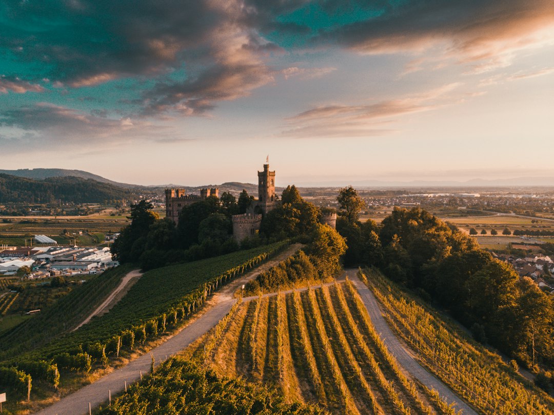
This arrangement created a striking political anomaly. A section of northern Bavaria was now ruled as part of the Rhine Palatinate, despite being more than 300 kilometres from Heidelberg. Amberg served as the local administrative centre, while the territory was governed from the west.
At first, the distant possession was described as the “land of Bavaria.” Eventually, it became known as the Upper Palatinate because it lay upriver, or “higher,” from the Rhine Palatinate when viewed from Heidelberg. The name therefore reflected its relationship to the older Palatinate rather than its position within Bavaria.
Why one Palatinate became electoral
The Rhine branch gained even greater status in 1356, when Emperor Charles IV issued the Golden Bull. The document established which princes had the right to elect the German king. The Count Palatine of the Rhine was one of the seven electors, and the territory consequently became known as the Electoral Palatinate.
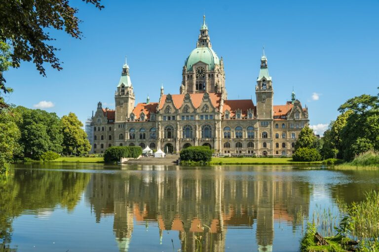
Heidelberg rose to exceptional importance within the empire. Its university, founded in 1386, became the oldest university in what is now Germany. From Heidelberg, the elector governed the Rhine lands and, for nearly three centuries, the distant Upper Palatinate as well.
The Thirty Years’ War ends the connection
The arrangement collapsed during the crisis that led to the Thirty Years’ War. Elector Frederick V, a Calvinist and prominent Protestant leader, accepted the crown of Bohemia in 1619. His reign lasted only one winter after his defeat at the Battle of White Mountain in 1620, earning him the later nickname “the Winter King.”
The consequences for his dynasty were severe. Frederick lost Bohemia, his electoral dignity, and his territories. In the 1620s, the Upper Palatinate was transferred to the Bavarian duke Maximilian. After almost 300 years, it became Bavarian again—and has remained so ever since. Frederick’s family later recovered the Rhine Palatinate, but the Upper Palatinate did not return. The original political connection was permanently broken.
War and destruction along the Rhine
The Rhine Palatinate suffered further devastation at the end of the seventeenth century. King Louis XIV of France claimed rights in the region, prompting French invasions and systematic destruction. Cities and fortresses including Heidelberg, Mannheim, Speyer, and Worms were damaged.
Heidelberg Castle suffered so extensively that it was never completely rebuilt. Its ruins remain one of the clearest physical reminders of the wars that reshaped the region.
From Electoral Palatinate to Bavarian exclave
The political map shifted again in 1777, when the Bavarian Wittelsbach line died out. The Electoral Palatine ruler, Charles Theodore, inherited Bavaria, temporarily bringing the Palatinate and Bavaria under one monarch for the first time since the fourteenth-century division.
Napoleonic reorganization soon destroyed the old structure. In 1803, the Electoral Palatinate was dissolved. The lands east of the Rhine, including Heidelberg and Mannheim, passed to Baden and are now in Baden-Württemberg. The lands west of the Rhine were assigned to Bavaria after the Congress of Vienna in 1816.
This western territory became a Bavarian exclave. Baden and Hesse separated it from the main Bavarian state, yet it remained Bavarian for roughly 130 years. Administration came from Munich across the territory of other states, an arrangement that seemed increasingly artificial as Germany’s political structures changed.
The modern state of Rhineland-Palatinate
The final major transformation came after the Second World War. In 1946, the French occupation authorities created a new state in their zone by combining the Palatinate with the Rhineland and Rheinhessen. The result was Rhineland-Palatinate.
That is why the word “Palatinate” appears today in the name of a German state whose modern boundaries do not reproduce the medieval territory. The name survived even as the political unit behind it was divided and redistributed.
One history, three modern identities
The three Palatinate names are therefore the remnants of one long political story. A medieval royal office gave the region its name. A Wittelsbach inheritance connected the Rhine lands to northern Bavaria. The Treaty of Pavia divided the dynasty’s possessions, the Thirty Years’ War separated them permanently, and Napoleonic and post-Napoleonic settlements scattered the remaining territories across new states.
Today, an inhabitant of the Upper Palatinate may use “Palatinate” to mean Bavaria. Someone in Rhineland-Palatinate may mean the western Palatinate. Around Heidelberg, “Electoral Palatinate” refers to a historical landscape in Baden-Württemberg. The geography is different, but all three identities preserve a common memory: a territory once defined by the official who represented the king at his palace.