
China’s Invisible Population Divide: Why the West Remains So Sparsely Settled
China contains one of the world’s most dramatic population contrasts. A diagonal line running from Heihe on the Russian border to Tengchong near Myanmar divides a densely settled southeast from a vast, lightly populated west. The boundary is not marked by fences or checkpoints, yet it remains visible in modern demographic maps.
A country divided by density
Nearly 94 percent of China’s people live southeast of the line, even though that region covers only about 43.4 percent of the country’s territory. The northwestern side accounts for roughly 6 percent of the population across the much larger remainder. That western half is not empty: its population would approach 90 million, making it more populous than Germany. The difference is that those residents are spread across an enormous area, while the southeast contains dense networks of cities, towns, farmland, and transport corridors.
The line was identified in 1935 by the geographer Hu Huanyong. Working with incomplete population statistics and paper maps, Hu represented population centers as points and discovered a pattern that has survived decades of urbanization, industrialization, and infrastructure construction. The exact percentages have changed with census boundaries and measurement methods, but the underlying division has remained remarkably stable.
Terrain creates the first advantage
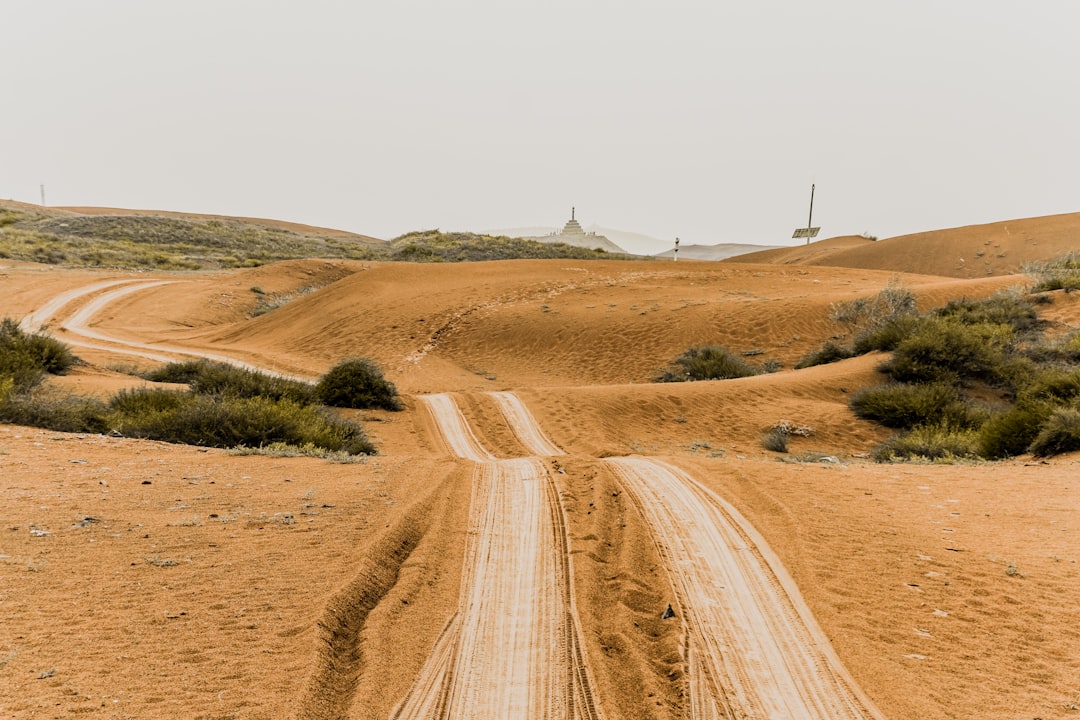
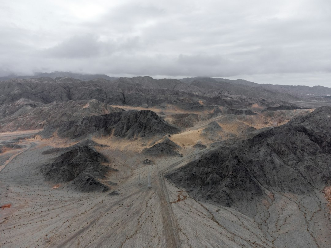
Western China is dominated by some of the planet’s most demanding landscapes. The Tibetan Plateau rises thousands of meters above sea level, while the Tarim Basin, the Taklamakan Desert, the Gobi, and several major mountain systems limit where people can live and farm. In the Tarim Basin, oases occupy only a small share of the land but support almost all settlement and economic activity. Communities therefore cluster along irrigated edges, leaving the dry interior largely uninhabited.
East of the line, the land generally descends into broader and more connected lowlands. The North China Plain, the Sichuan Basin, and the plains around the Yangtze offer larger areas with lower elevations and fewer barriers to agriculture and transport. A population can expand across these landscapes rather than being confined to isolated valleys or oases.
Water matters where it can be used
Mountains and deserts do not tell the whole story. Two of China’s most important rivers, the Yellow River and the Yangtze, begin on the high plateau in the west. The source of water is therefore not the same as the place where the largest population can develop.
The decisive question is where water can spread across broad plains, replenish soils, and reliably support food production. Moist air reaches China mainly from the south and east, losing water as it moves inland. The southeast consequently benefits from a combination of rainfall, lower elevations, navigable river systems, and extensive agricultural land. The west has water in important places, but much of it is locked in highlands, concentrated in narrow corridors, or separated from potential settlement by arid terrain.
History made the pattern stronger
Geography created an initial advantage, but history amplified it. In the Yellow River basin, millet and other grains supported increasingly large settlements. Larger harvests enabled more villages, which generated more taxes, labor, markets, and military resources. That concentration made it worthwhile for successive states to build roads, canals, granaries, and administrative centers in the same regions.
The Grand Canal illustrates this reinforcing cycle. It moved grain from the productive Yangtze region toward political centers in the north. Along with food came officials, merchants, investment, and state power. No emperor drew the population divide into existence, but repeated investment in the already productive and populous side made it even more populous.
Modern industry did not erase the divide
Industrialization might appear capable of breaking this pattern. Factories do not require fertile soil, railways can cross mountains, and cities can import food and water from far away. Yet China’s economic opening initially rewarded the southeast once again. Shanghai, Shenzhen, and the Yangtze River Delta already possessed ports, workers, dense urban markets, and established supplier networks.
Coastal access alone is not enough to explain the result. The densely populated Sichuan Basin lies deep inland, demonstrating that the deeper force is a network of people, markets, infrastructure, and institutions. Modern economic activity moved beyond agriculture, but it continued to depend on the cities and transport systems that earlier agricultural development had created.
Why infrastructure has limits
Since 2000, China’s western development strategy has directed enormous investment toward roads, railways, airports, energy, and industry. Hundreds of major projects have helped cities such as Ürümqi, Lanzhou, and Xining expand and have improved living standards across western regions.
Those efforts have produced important regional centers, but a railway cannot create a river delta, lower a plateau, or distribute water across a desert at no cost. Infrastructure can connect a city to national markets without making the surrounding landscape equally suitable for dense settlement. The result is a pattern of strong nodes, valleys, and corridors rather than a uniformly populated western half.
This explains an apparent paradox. The Heihe–Tengchong Line does not mean that large cities cannot exist to its west. It means that spreading people across the whole region is much more difficult and expensive. A western city can grow by drawing residents from its sparse hinterland, making the city denser while leaving the surrounding countryside even less populated. The national contrast can therefore remain almost unchanged.
Urbanization may preserve the pattern
China’s population rose from about 583 million in 1953 to more than 1.4 billion by 2020. Between 2010 and 2020, the urban population increased by more than 236 million. Yet this enormous transformation did not dissolve the old geographic pattern.
Recent demographic change may even reinforce it. In 2025, the urban population grew by roughly 10 million while the rural population fell by about 13.7 million, even as the national population declined overall. People are continuing to concentrate in places with jobs, services, universities, hospitals, and established networks. Those advantages are strongest in the southeast and in a limited number of western urban centers.
A geographic constraint, not a political border
The enduring lesson of the Heihe–Tengchong Line is not that western China is incapable of development. Western cities can become wealthier, better connected, and more attractive places to live. The constraint is one of scale: building a handful of successful hubs is very different from creating a second, evenly settled population core.
After more than nine decades, the line remains a useful summary of where human life is easiest to organize on a continental scale. Climate, elevation, water, agricultural history, infrastructure, and urban networks all point in the same direction. China can continue improving conditions west of the line, but geography makes it unlikely that the country will ever support equally dense settlement on both sides.
The central policy choice is therefore not simply whether to defeat the line. It is whether development should focus on a few capable western hubs, connected corridors, and sustainable oases, while accepting that some geographic limits cannot be engineered away.